Noah Schwarz · 4 November 2026
Spring Water Analyses and Canopy Insect Discoveries Guide Emberwald Trail Planning Efforts
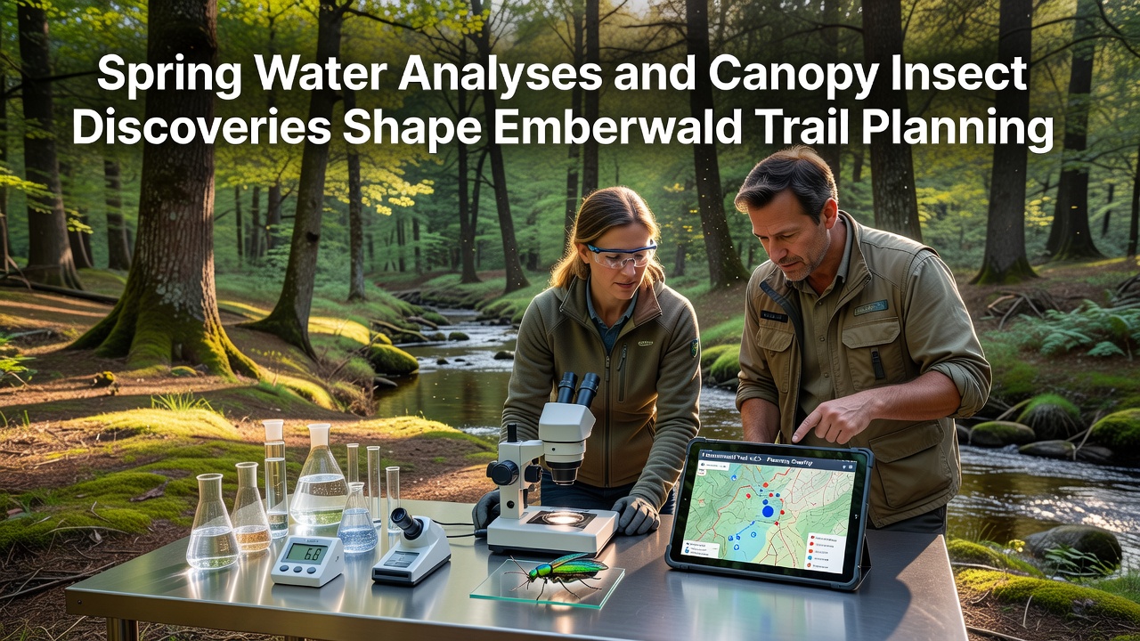
Analyses of spring water composition combined with new canopy insect findings continue to influence trail route selections across Emberwald forest areas as planners adjust paths to protect sensitive zones, and data collected through November 2026 shows measurable shifts in mineral levels and insect distribution patterns that directly affect construction timelines.
Water Sampling Methods Reveal Hidden Patterns
Teams from regional forestry departments conduct regular sampling at multiple spring sites where water emerges from underground aquifers, they measure pH values along with dissolved oxygen and trace mineral concentrations while tracking seasonal flow variations that change after heavy rainfall events, and results from these tests indicate certain trail segments would cross areas where spring outflows support unique microhabitats that require wider buffer zones to prevent erosion or contamination during construction phases.
Researchers note that springs feeding into larger streams often carry higher calcium levels which support specific moss and lichen growth, yet when planners map these locations against proposed paths they discover several original routes would pass too close and increase sediment runoff risks, so adjustments shift trails uphill or reroute around spring clusters entirely while maintaining access points for visitors.
Insect Discoveries in the Canopy Add New Layers
Canopy surveys using elevated platforms and drone imaging have identified previously undocumented clusters of leaf-dwelling insects whose life cycles depend on particular tree species near proposed trail corridors, and experts tracking these populations through multiple seasons found that certain beetle and moth larvae concentrate in areas where spring moisture creates cooler microclimates beneath the forest cover.
These findings prompt planners to incorporate elevated boardwalk sections in sensitive spots rather than ground-level paths that might disturb leaf litter layers, and observations from November 2026 sampling rounds show insect activity peaks align with periods of higher spring discharge which means construction crews must schedule work outside those windows to avoid disrupting breeding cycles.
Integrated Planning Process Connects Data Sources
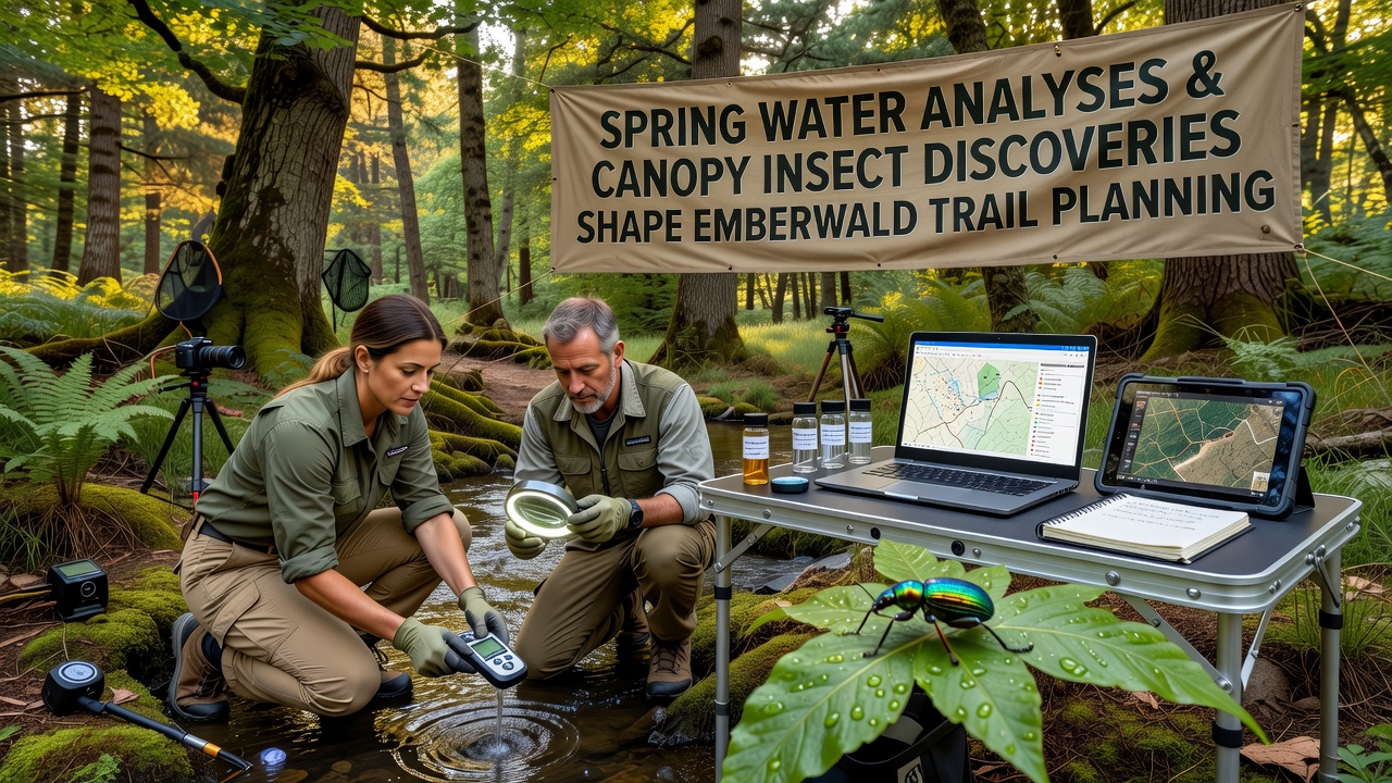
Forestry officials combine water chemistry datasets with insect distribution maps using geographic information systems that overlay both layers onto existing topographic models, and this approach reveals overlaps where high-mineral springs coincide with dense insect habitats which then become priority conservation zones that limit trail width or require rerouting along ridge lines instead of valley floors.
According to reports from the European Environment Agency, similar integrated monitoring programs in other European woodlands have reduced habitat fragmentation by up to thirty percent when planners apply combined water and biodiversity data early in the design phase, and Emberwald teams apply these same principles by consulting local university entomology departments for verification of insect identifications before finalizing any route segments.
Community meetings held in late 2026 presented preliminary maps showing three main trail options with varying levels of spring and canopy impact, and feedback from these sessions led to selection of hybrid routes that balance visitor access with protection of both water sources and insect populations through strategic placement of viewing platforms rather than direct path access.
Long-Term Monitoring Supports Adaptive Management
Once trails open, monitoring stations will continue collecting spring water samples monthly while canopy traps track insect population trends, and data from these efforts will feed into an adaptive management framework that allows minor trail modifications if future analyses detect changes linked to increased foot traffic or altered drainage patterns.
Studies from the CSIRO Forest Ecosystems program in Australia demonstrate that ongoing water and insect surveillance helps maintain ecological balance even after infrastructure development, and Emberwald planners reference these models when establishing baseline measurements that future comparisons can use to evaluate trail effects over multiple years.
Conclusion
Combined spring water analyses and canopy insect discoveries continue to shape Emberwald trail planning by providing concrete data that guides route adjustments and construction timing, and the integration of these findings ensures new paths respect both hydrological features and arboreal habitats while still offering public access to the forest landscape.