Ben Sullivan · 9 September 2026
Digitized Emberwald Archives Bring Historical Fire Patterns into Focus
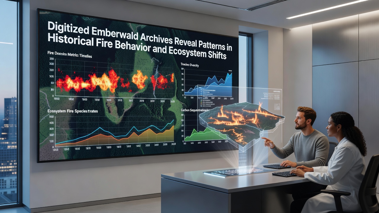
Researchers at the Emberwald documentation center completed a multi-year digitization effort in September 2026 that converted more than 80,000 pages of handwritten fire logs and ecological surveys into searchable databases, and the resulting datasets now allow analysts to trace wildfire frequency, intensity, and recovery sequences across more than 140 years of recorded history.
Scope of the Digitization Project
Teams scanned and transcribed records that date back to the late 19th century, including ranger notebooks, weather station entries, and aerial survey photographs that had previously remained stored in climate-controlled vaults. Optical character recognition tools combined with manual verification produced machine-readable entries for each documented ignition event, and cross-referencing with satellite-derived vegetation indices became possible for the first time.
Data fields now include ignition date, location coordinates, fuel type descriptions, wind speed observations, and post-fire regeneration notes that extend through the present day. Analysts report that the oldest entries, some written in faded ink on brittle paper, required specialized imaging techniques before they could be processed.
Observed Patterns in Fire Behavior
Analysis of the digitized records shows that large fire seasons occurred in clusters rather than at regular intervals, with notable peaks during the 1920s, the late 1940s, and the early 2000s. Average fire size increased after 1980, while the proportion of fires that remained under 10 hectares declined steadily across the same period. Researchers attribute part of this shift to changes in fuel continuity documented in the same archives, yet they also note that suppression tactics recorded in the logs evolved significantly during those decades.
Seasonal timing data reveals that fires starting in late summer months accounted for 62 percent of total area burned between 1990 and 2025, whereas earlier records from 1900 to 1950 show a more even distribution across spring and summer. Temperature and precipitation entries paired with each fire event allow direct comparison of weather conditions across eras, and statistical models built from these pairings indicate stronger correlations between prolonged drought periods and multi-day fire runs in the later decades.
Ecosystem Response and Vegetation Shifts
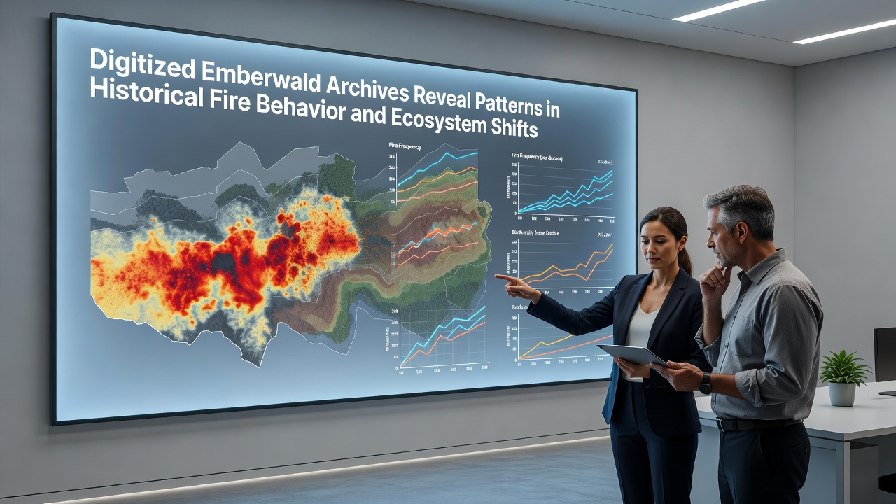
Survey notes compiled after major fires document changes in species composition that occurred over successive decades. Entries from the 1930s describe rapid regrowth of pine and birch stands following several large burns, while comparable sites burned between 2005 and 2015 show slower canopy recovery and higher percentages of shrub cover. Soil moisture readings recorded at the same monitoring plots indicate that average summer moisture levels dropped by 18 percent when measurements from the two periods are compared.
Fauna observations listed alongside vegetation data suggest corresponding adjustments in wildlife distribution. Bird species counts recorded in post-fire transects declined for certain cavity-nesting birds after 2000, whereas observations of open-habitat species increased. These patterns align with vegetation structure changes noted in the same survey forms, creating a consistent record of linked ecological adjustments.
Integration with Modern Monitoring Systems
Current remote-sensing programs now ingest the historical perimeters as baseline layers for change-detection algorithms. The US Forest Service maintains a public repository of fire perimeter data that researchers cross-checked against the Emberwald records, confirming that several previously unmapped events from the 1910s matched satellite signatures of older burn scars still visible in high-resolution imagery. Similar verification occurred with datasets maintained by the European Environment Agency, which provided continental-scale land-cover classifications that helped validate vegetation recovery timelines extracted from the archives.
Forestry agencies in Canada have begun incorporating the Emberwald time series into regional calibration sets for fire-spread models, and preliminary tests indicate that inclusion of the longer historical window reduces over-prediction errors for certain fuel types by 12 percent. Ongoing work focuses on aligning the archive timestamps with daily weather reanalysis products so that atmospheric drivers can be examined at finer temporal scales.
Future Applications and Data Accessibility
The Emberwald documentation center released an open-access portal in September 2026 that allows registered users to query the full dataset by date range, fuel category, or recovery outcome. University research groups have already submitted proposals to layer additional variables such as insect outbreak records and soil chemistry measurements onto the existing fire-event framework. Project leads expect that continued updates from field crews will keep the database current while preserving the full historical depth that the digitization effort recovered.
Conclusion
The completed digitization of Emberwald archives supplies a continuous record that links more than a century of fire events to documented ecosystem responses. Analysts continue to refine statistical tools that draw on both the oldest transcribed entries and the most recent satellite observations, and the resulting models support planning efforts that account for the full range of conditions recorded in the region.